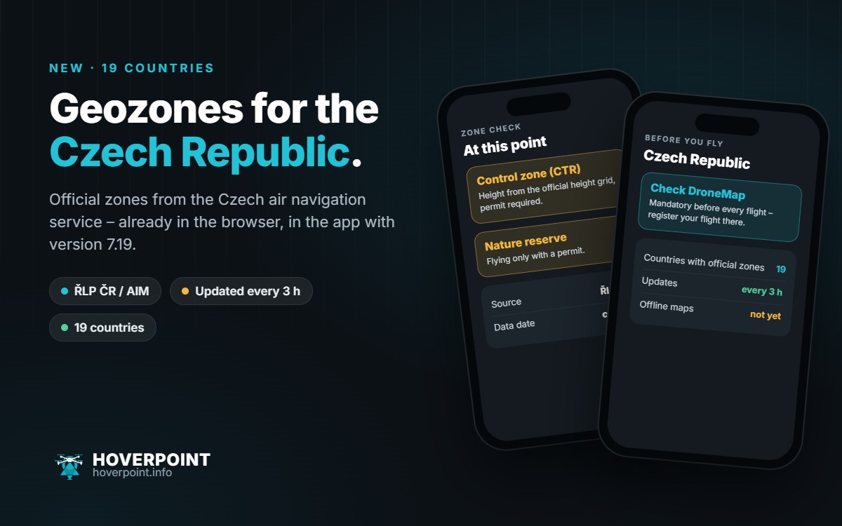
Hoverpoint now shows the official UAS geozones for the Czech Republic. That makes 19 countries with official zones. In your browser at web.hoverpoint.info the Czech Republic is already there; in the app it arrives with version 7.19, which is reaching the stores in the next few days.
Where the data comes from
The zones come from the Czech air navigation service ŘLP ČR (AIM department), which has explicitly allowed us to use them. Hoverpoint checks every three hours whether a new edition has been published and then takes it over. Every zone shows its source and data date.
What’s included
- Control and aerodrome zones (CTR, MCTR, ATZ) with the permitted height from the official height grid
- Airfields, heliports and other airspaces
- Railways, roads, substations and extra-high-voltage lines
- Drinking water and nature protection areas
- Built-up areas and military areas
Important before you fly
In the Czech Republic almost every zone requires a permit, so Hoverpoint rates the zones as “permit required” by default. Checking the official DroneMap app before every flight is mandatory, and that is also where you register your flight. With drones under 250 g a flight plan in DroneMap is usually enough.
Good to know
- On the map in the browser the Czech zones appear once you zoom in to about city level. The zone check at a point always works.
- Offline maps are not yet available for the Czech Republic.
- You can see at any time whether the data source is reachable at web.hoverpoint.info/status.
As always, the official publication is what counts, which in the Czech Republic means DroneMap and the ŘLP ČR data.