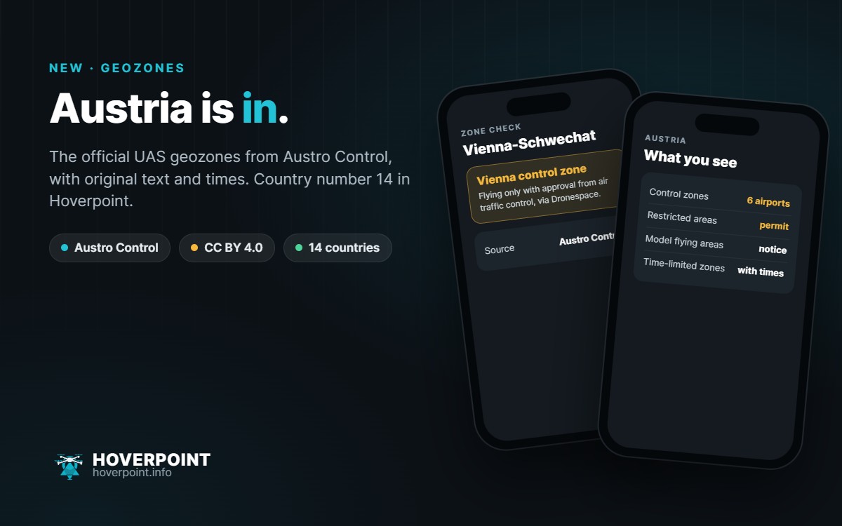
If you fly in Austria, Hoverpoint now shows you the official UAS geographical zones from Austro Control. They come from the official Dronespace dataset, which Austro Control provides under the CC BY 4.0 licence. Thanks to Austro Control for the quick and straightforward approval.
What you see
- Control zones of the airports Vienna, Graz, Linz, Salzburg, Innsbruck and Klagenfurt – flights only with air traffic control approval, which you get by filing a flight plan in Dronespace
- Airfield, heliport and safety zones as well as restricted areas that require authorisation
- Model flying areas and military danger areas as information
- for every zone the original text from Austro Control, and for time-limited zones the period and weekly times
Where
In the airspace check of the web app at web.hoverpoint.info right now, in the app with the next update. Austria is the 14th country for which Hoverpoint provides official geozones.
Important
Hoverpoint is not an official source. The aeronautical publications (AIP, NOTAM, AIC) and the map on Dronespace are authoritative. Zones that only start 120 m above ground are hidden – they do not affect drones in the “open” category.