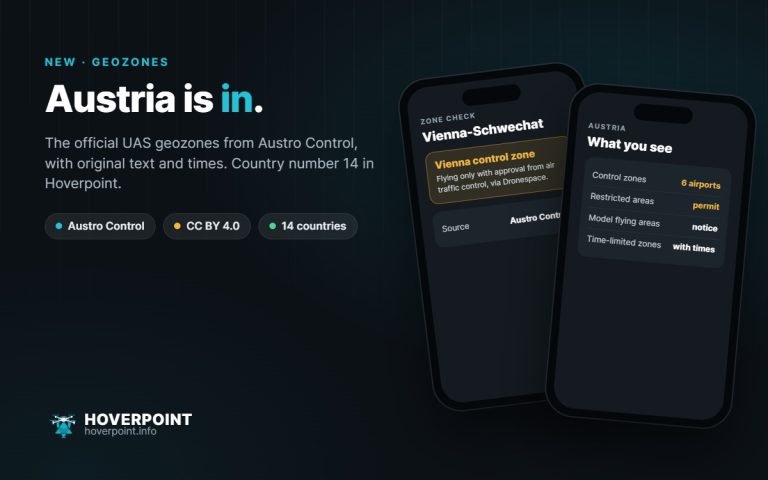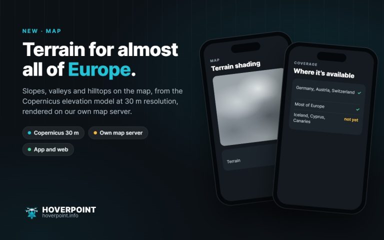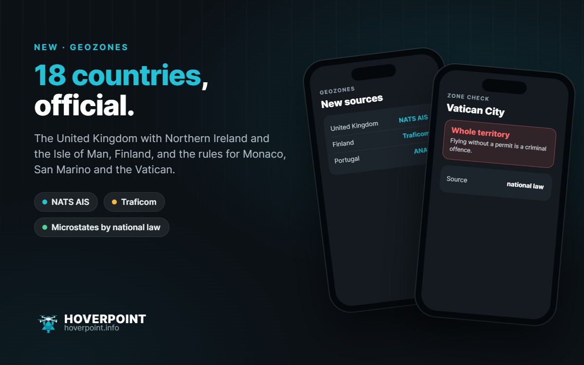
Hoverpoint now shows the official geozones for 18 countries: Germany, Austria, Switzerland, Liechtenstein, France, Luxembourg, Belgium, the Netherlands, Denmark, Sweden, Norway, Finland, Estonia, Ireland, Spain, Portugal, Bulgaria and the United Kingdom. In the browser at web.hoverpoint.info everything is already there; in the app it arrives with the next update.
United Kingdom with Northern Ireland and the Isle of Man
The zones come from the official “UAS Flight Restrictions” dataset of NATS AIS and are updated with every AIRAC cycle. That is around 1,070 zones, including the restricted areas around specially protected sites in force since February 2026 (Prohibited Places). The Isle of Man is included, the Channel Islands Jersey and Guernsey are not.
Finland
For Finland, Hoverpoint reads the daily updated dataset of the transport agency Traficom, including the Åland Islands.
Monaco, San Marino and the Vatican
There are no geozone files for these three microstates. Hoverpoint therefore shows the whole country as a zone, with the rule from national law: in Monaco and San Marino flying requires a permit, and over the Vatican flying without a permit is a criminal offence. That is why these three do not count among the 18 countries with official zones.
Also
- Portugal: the aviation authority ANAC changed the location and file names of its dataset. Hoverpoint reads the new file.
- Malta and Andorra: as long as there is no zone data, Hoverpoint shows a note on the rules. In Malta, for example, the whole island lies in controlled airspace and every flight needs a permit.
- Whether all data sources are currently reachable, you can see at any time at web.hoverpoint.info/status.
As always: the official publication of each country is authoritative. Hoverpoint shows the source and data date for every zone.