Terrain shading now covers almost all of Europe
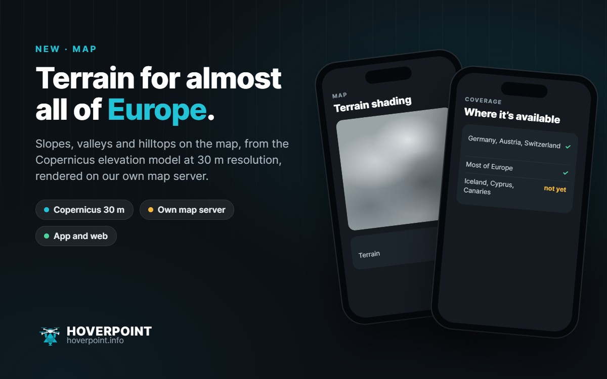
As of today, the Hoverpoint map shows slopes, valleys and hilltops for most of Europe. Until now this only worked for Germany, Austria and Switzerland.
The shading is based on the Copernicus elevation model at 30 metre resolution. It is computed and served by my own map server, not by a third-party provider. For Europe it took a little over four hours to calculate.
You can switch it on in the app from the map menu and in the web app with the “Terrain” switch. Iceland, Cyprus and the Canary Islands are not included yet.
The request came from the community. Thanks for the nudge!