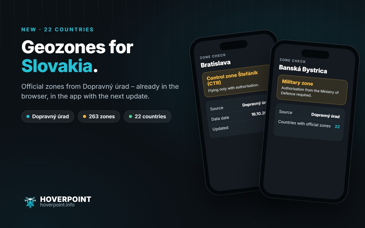
Hoverpoint now shows the official UAS geozones for Slovakia. That makes 22 countries with official zones. In your browser at web.hoverpoint.info Slovakia is already there; in the app it arrives with the next update.
Where the zones come from
The zones come from the Slovak Transport Authority Dopravný úrad, which has allowed us to use them. The dataset contains just over 260 zones: control zones and airports, military areas of the Ministry of Defence, critical infrastructure and protected sites, and a few prohibited zones. In most zones you may only fly with prior authorisation, in the prohibited zones not at all. Every day, Hoverpoint checks whether the authority has published a new version.
Good to know
- Every zone shows its source and data date.
- Temporary zones are hidden as soon as they have expired.
- Whether the data sources are reachable right now is always shown at web.hoverpoint.info/status.
Important: the Slovak authority requires you to check the official source before every flight. Only letectvo.nsat.sk is authoritative.