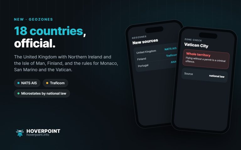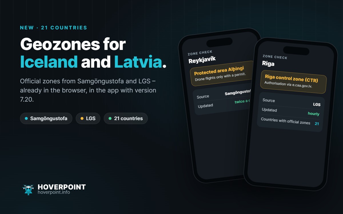
Hoverpoint now shows the official UAS geozones for Iceland and Latvia. That makes 21 countries with official zones. In your browser at web.hoverpoint.info both are already there; in the app they arrive with version 7.20.
Iceland
The zones come from the Icelandic Transport Authority Samgöngustofa, which has explicitly allowed us to use them. There are around 220 protected areas, mainly around police, ministries and parliament in Reykjavík. Drone flights there are only allowed with a permit. Hoverpoint refreshes the data twice a day.
Latvia
The zones come from the Latvian air navigation service LGS (Latvijas gaisa satiksme), also with permission. The dataset contains just over 400 zones: airport control zones, military areas, protected sites and temporary zones. As LGS recommends, Hoverpoint retrieves it every hour. You apply for authorisation to fly in the zones through the information system of the Latvian Civil Aviation Agency at e.caa.gov.lv.
Good to know
- Every zone shows its source and data date.
- Like the other countries, both can be saved for offline use.
- Whether the data sources are reachable right now is always shown at web.hoverpoint.info/status.
As always, the official publication is what counts: in Iceland the Samgöngustofa map, in Latvia airspace.lv/drones.