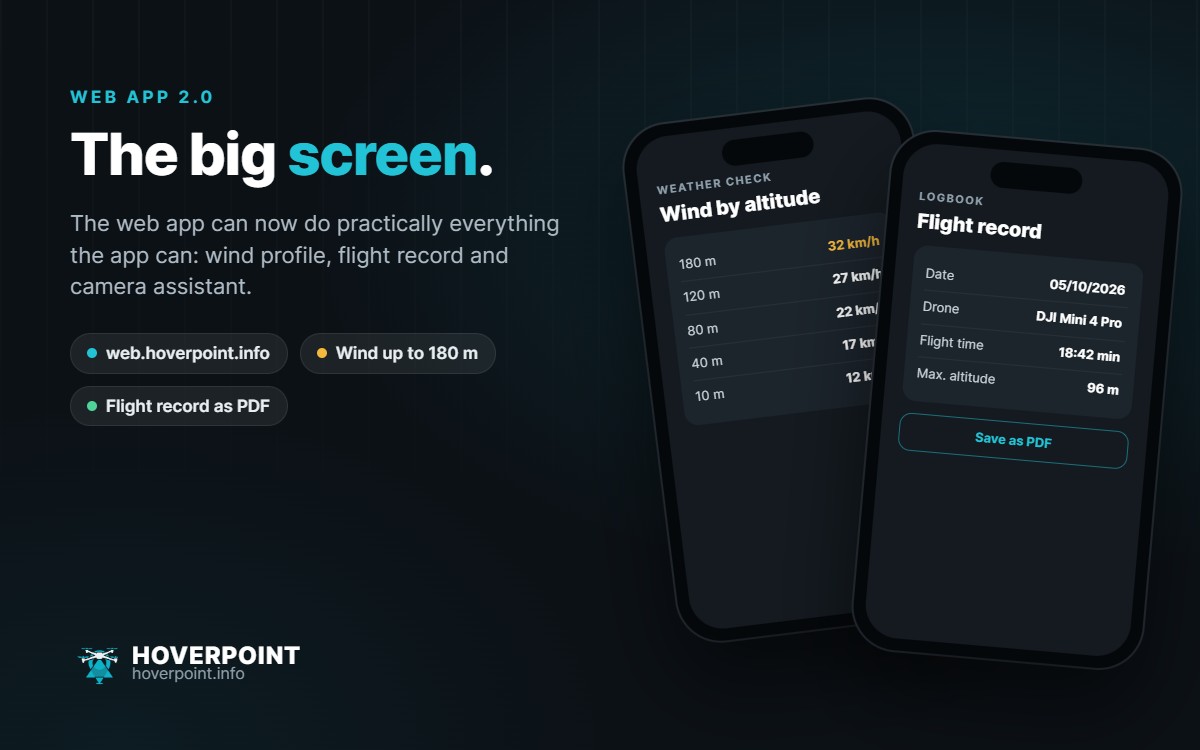
The web app at web.hoverpoint.info can now do practically everything the app can. That is why it jumps to version 2.0 today.
What was added in recent weeks
- Airspace map: satellite, obstacles (tall structures and power lines), greyscale, measuring with ruler and circle, terrain height under the mouse pointer, pilot meetups, community spots and your own KML, KMZ or GPX files
- Weather check: check against your drone from the hangar, dew point, fog and icing warnings and a new wind profile up to 180 m
- Flight log: the flight record for an imported DJI flight, for printing or as a PDF
- Camera assistant: blue and golden hour for any place and day, filter recommendation and resolution calculator
Many of these wishes came from the support inbox and the community. Thank you – this is exactly how Hoverpoint should grow.
The web app is not a replacement for the app at the take-off spot, but its big screen: plan routes, keep your flight log, check weather and light for the weekend. Everything you create on the web shows up in the app as well.