
Clear view: Hoverpoint, plain and focused
A new switch hides Drohnie, the feature of the day and the prize wheel and shows plain texts. All features stay – in the browser now, in the app with the next update.
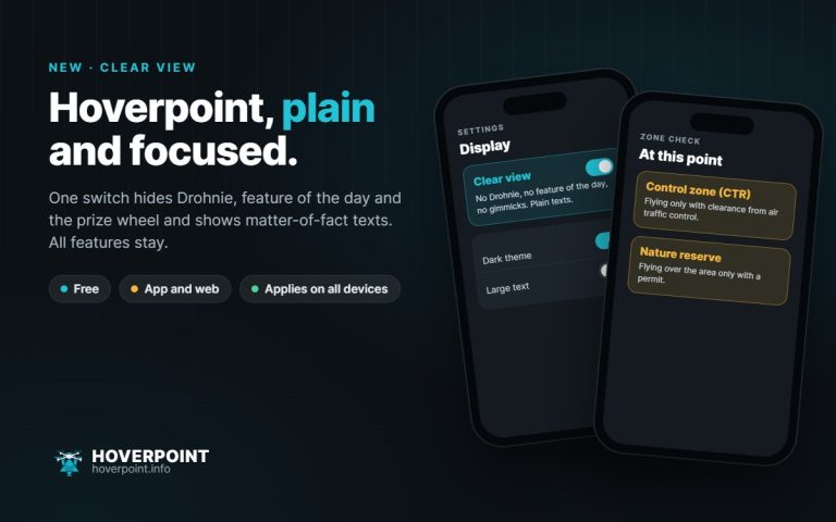
A new switch hides Drohnie, the feature of the day and the prize wheel and shows plain texts. All features stay – in the browser now, in the app with the next update.
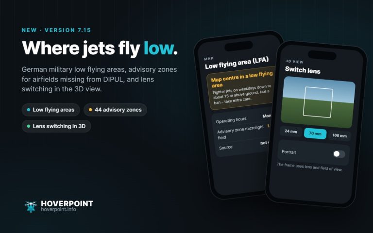
Version 7.15 shows Germany’s military low flying areas, marks airfields missing from DIPUL and lets you switch your drone’s lens in the 3D view.
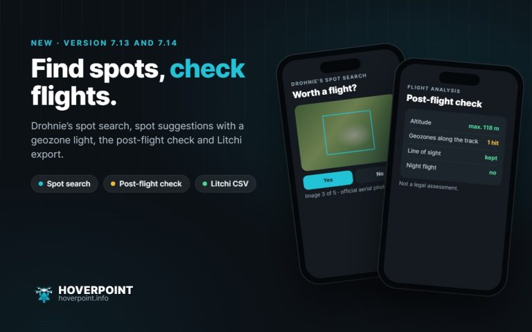
Versions 7.13 and 7.14 let you rate aerial photos in Drohnie’s spot search, check your track after the flight, export routes for Litchi and take official zones in eleven countries offline.
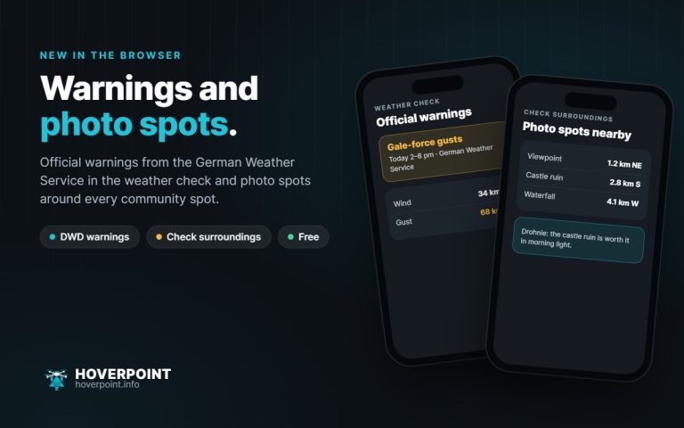
The weather check now shows the official warnings of the German Weather Service, and “Check surroundings” finds photo spots around every community spot – with distance, direction and a tip from Drohnie.
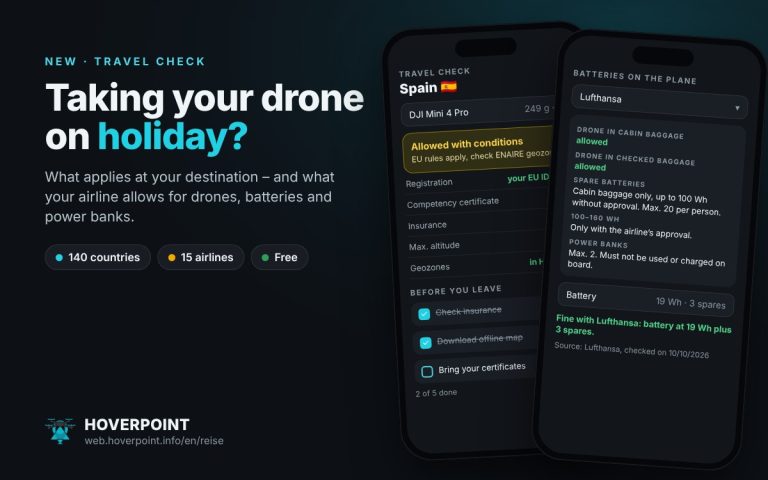
Pick your destination and airline, and Hoverpoint shows what applies to a holiday with your drone: local rules, registration, insurance and your airline’s transport rules for drones, batteries and power banks.
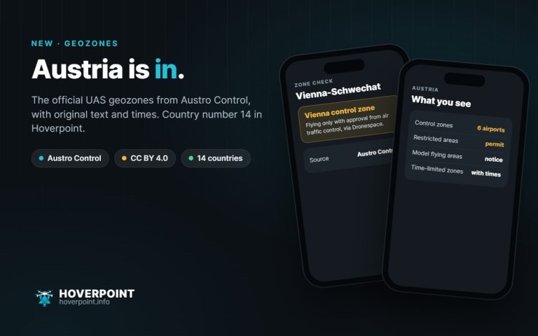
Hoverpoint now shows the official UAS geographical zones from Austro Control. That makes 14 countries with official geozones.
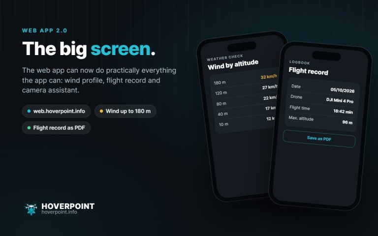
The web app can now do practically everything the app can – with a new wind profile, flight record and camera assistant.
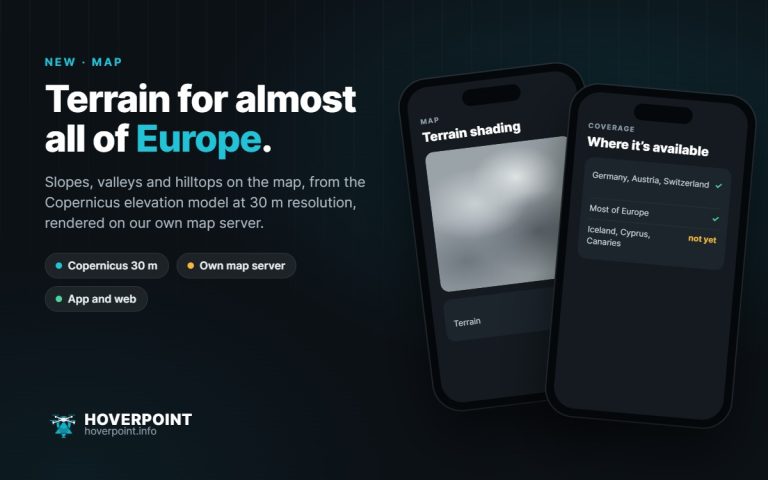
Slopes, valleys and hilltops on the map: terrain shading is now available for most of Europe.
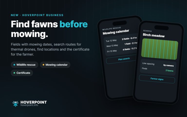
New in Hoverpoint Business: a dedicated feature for fawn rescue teams, from the field to the certificate for the farmer.
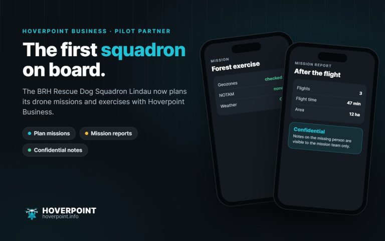
The BRH Rescue Dog Squadron Lindau now plans its drone operations with Hoverpoint Business.