
News
News and milestones around Hoverpoint: new features, partners and what’s happening behind the scenes.
- New: official geozones for Slovakia
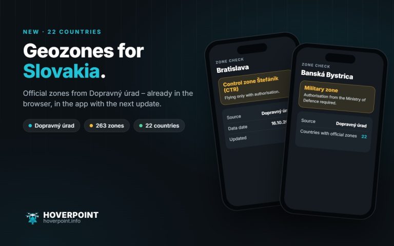 Hoverpoint now shows the official geozones for Slovakia – straight from the Slovak Transport Authority Dopravný úrad. That makes 22 countries with official zones.
- New: 47 airlines in the travel check, landscape mode and a mini map in spots
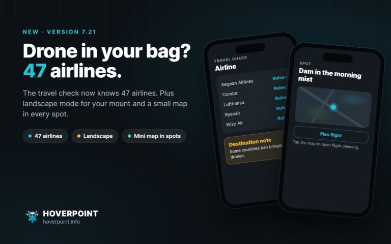 Version 7.21 knows 47 airlines in the travel check, rotates to landscape if you want and shows a small map in every spot.
- New: flight analysis that jumps to the event, rain radar and account switching
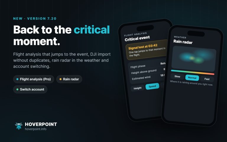 Version 7.20 jumps to the critical event in the flight analysis, recognises duplicate DJI flights, shows the rain radar in the weather and switches between several accounts with one tap.
- New: official geozones for Iceland and Latvia
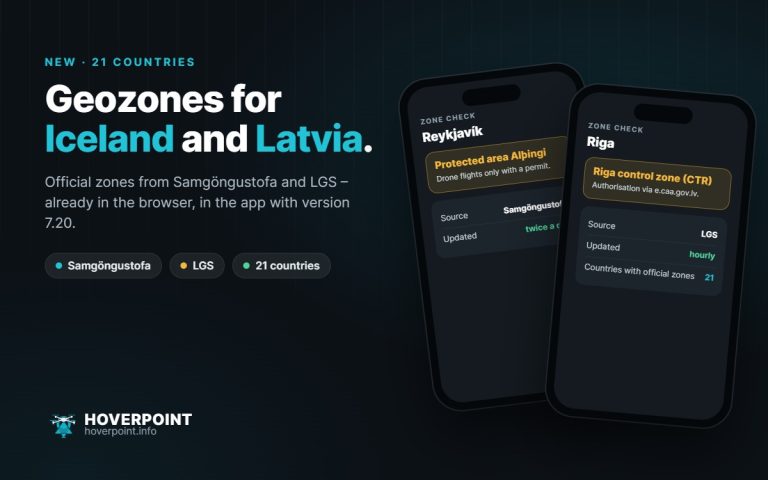 Hoverpoint now shows the official geozones for Iceland and Latvia – straight from Samgöngustofa and the Latvian air navigation service LGS. That makes 21 countries with official zones.
- New: official geozones for the Czech Republic
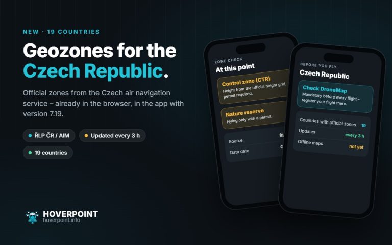 Hoverpoint now shows the official geozones for the Czech Republic, straight from the Czech air navigation service. That makes 19 countries with official zones.
- New: nearby weather stations, Pro calculator and guide
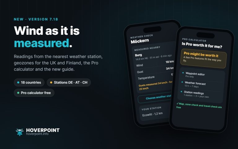 Version 7.18 shows real readings from weather stations, adds geozones for the UK and Finland, the Pro calculator and the Hoverpoint guide.
- New: weather icons, place search by country and nicknames for drones
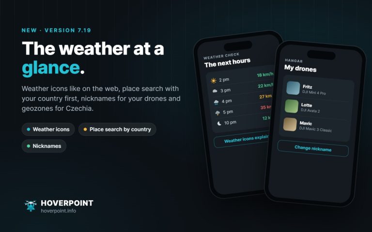 Version 7.19 brings weather icons like on the web, place search with your country first, nicknames for your drones and the official geozones for Czechia.
- New: official geozones for 18 countries
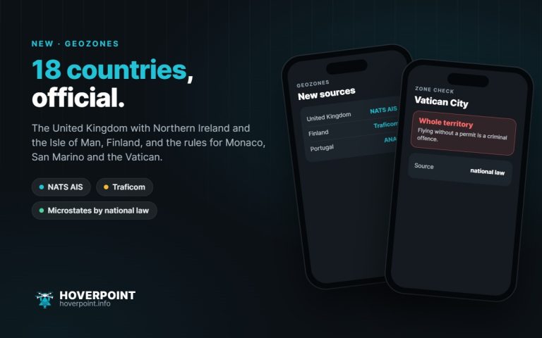 Hoverpoint now shows official geozones for 18 countries. New are the United Kingdom including Northern Ireland and the Isle of Man, and Finland, plus the rules for Monaco, San Marino and the Vatican.
- New: proof QR, flight windows and flight replay
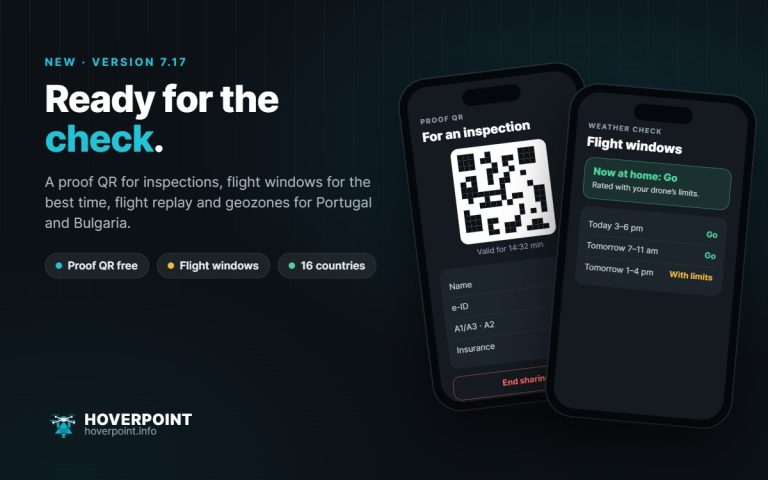 Version 7.17 brings the proof QR for checks, flight windows for the best times to fly, flight replay, batteries with charge cycles, deadlines as PDF and geo zones for Portugal and Bulgaria.
- New: follow pilots, pilot radio and clear view
 Version 7.16 brings following pilots and pilot radio, a clear view for professional users, UTMREF coordinates and a guide reader with bookmarks.
- Clear view: Hoverpoint, plain and focused
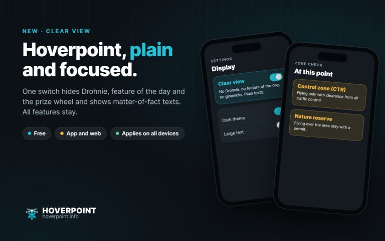 A new switch hides Drohnie, the feature of the day and the prize wheel and shows plain texts. All features stay – in the browser now, in the app with the next update.
- New: military low flying areas, advisory zones and lens switching in 3D
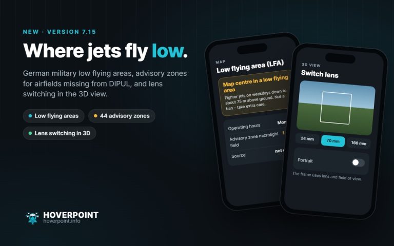 Version 7.15 shows Germany’s military low flying areas, marks airfields missing from DIPUL and lets you switch your drone’s lens in the 3D view.
- New in the app: spot search, post-flight check and Litchi export
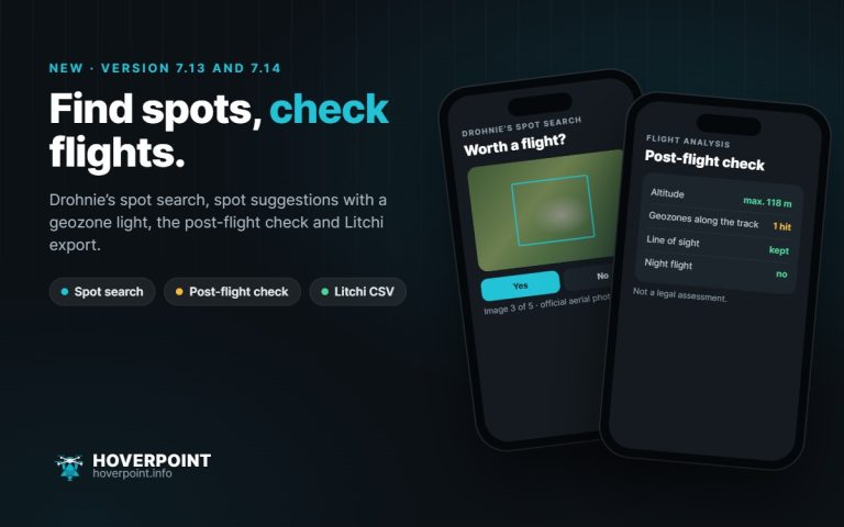 Versions 7.13 and 7.14 let you rate aerial photos in Drohnie’s spot search, check your track after the flight, export routes for Litchi and take official zones in eleven countries offline.
- New in the browser: official weather warnings and photo spots around the spot
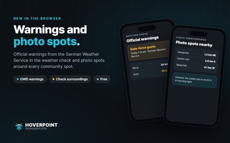 The weather check now shows the official warnings of the German Weather Service, and “Check surroundings” finds photo spots around every community spot – with distance, direction and a tip from Drohnie.
- Travel check: what applies at your destination – and what your airline allows
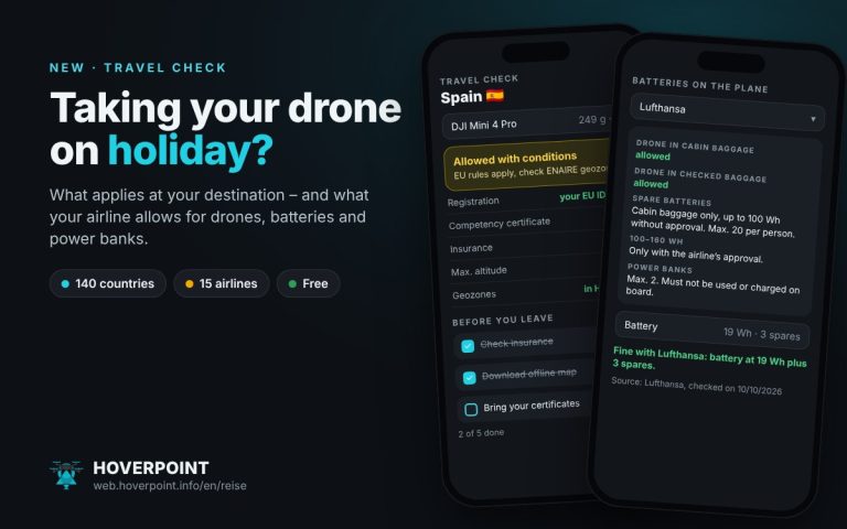 Pick your destination and airline, and Hoverpoint shows what applies to a holiday with your drone: local rules, registration, insurance and your airline’s transport rules for drones, batteries and power banks.
- Austria: official geozones now in Hoverpoint
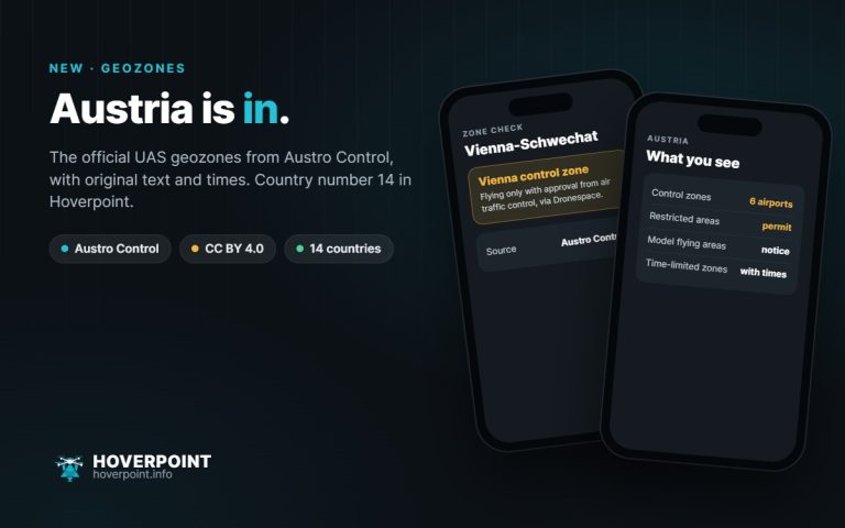 Hoverpoint now shows the official UAS geographical zones from Austro Control. That makes 14 countries with official geozones.
- Web app 2.0: on par with the app
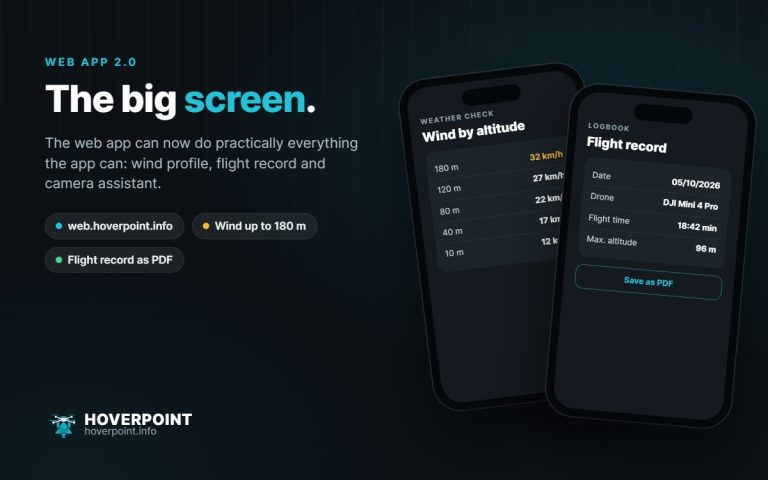 The web app can now do practically everything the app can – with a new wind profile, flight record and camera assistant.
- Terrain shading now covers almost all of Europe
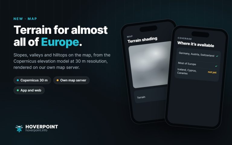 Slopes, valleys and hilltops on the map: terrain shading is now available for most of Europe.
- Fawn rescue: plan thermal search flights
 New in Hoverpoint Business: a dedicated feature for fawn rescue teams, from the field to the certificate for the farmer.
- First pilot partner: BRH Rescue Dog Squadron Lindau
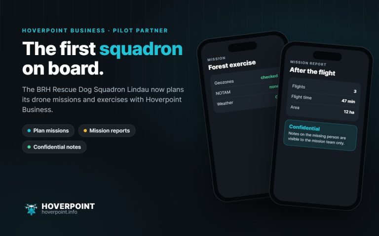 The BRH Rescue Dog Squadron Lindau now plans its drone operations with Hoverpoint Business.